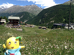
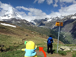
After passing Riffelberg, I made the choice to take the hiking trail which I didn't take last time. It is called Gletschergartenweg(Glacier garden trail), which leads to the Gorner-glacier.
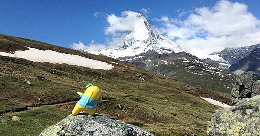
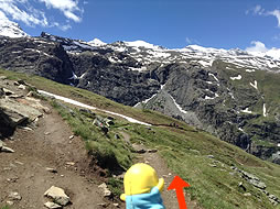
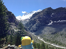
The Glacier garden trail stretches toward the Matterhorn!
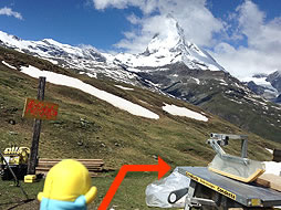
While walking along the trail, the sky was starting to clear up and the Matterhorn was in sight!
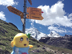
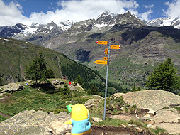
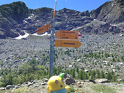
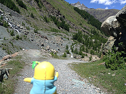
There are lots of hiking trail signs throughout mountains and it is important to choose a hiking trail that suits your level, based on physical strenghth and stamina. I had chosen to continue down the Glacier trail and you will eventually see later whether my choice was right or not....
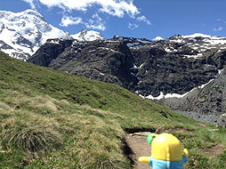
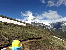
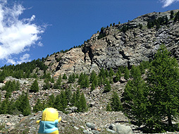
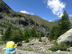
I kept going along the narrow hiking path towards the Gorner-glacier.
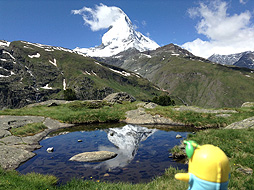
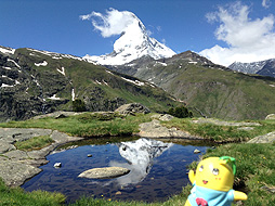
I came upon a small pond on the long walk. I expected a lovely reflection of the Matterhorn in the pond, but unfortunately, that expectation was ruined by the clouds. It was unfortunate that my timing to reach the pond was bad!
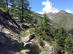
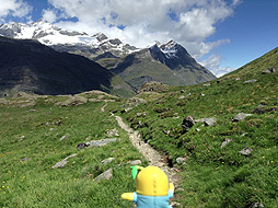
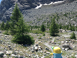
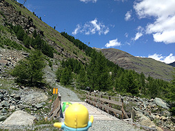
The hiking path was getting narrow and starting to become rough.
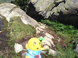
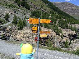
Often, the cold water was flowing out onto the trail here and there, so I was not sure if I was following the right trail or not.
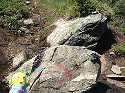
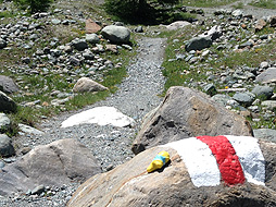
All I had to rely on to guide me were the occasional instructional arrows and very rough hiking signs marked on rocks that were sprawled out around the trail. Such rough looking signs made me nervous, but I followed them and kept walking.
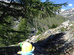
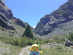
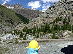
Finally, I reached the edge of the mountain and the glacier came into view in the distance. All that remained was to hike down towards the bottom of the valley.
"Arrived!!"
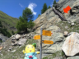
I arrived the bottom of the valley at last. There were several well-kept hiking signs, so I felt much more relieved.
I hiked down and could now see the edge that I had walked to before from below! I did a great job, but the walk had completely tired me out!
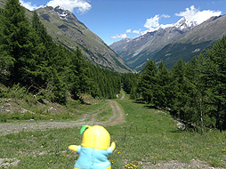
From here, I changed direction and headed down the path towards the town of Zermatt.
I walked through the bottom of the valley and after a 20-minute walk....
...I came to a fork in the hiking trail. One hiking trail lead up to the surface of valley and the other was a gradual descent toward the town of Zermatt. Of course I walked downhill.
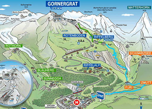
After a while, I faced an another fork in the trail again and I had two choices. One of them was a hiking trail which passed through the paid glacier-themed garden and the other was a trail which headed to the Furi cable car station. I chose the latter because it seemed easy. But the trail was long with a slight slope, and I got completely tired again..."Even if you take the easy road, there will still be difficult parts on the trail."
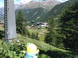
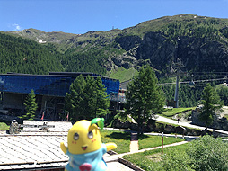
Finally, the Furi cable car station connected to the town of Zermatt was in sight. It took me about 3 hours and 40 minutes to get there!